Weather Service Predicts Snow in Missoula Soon
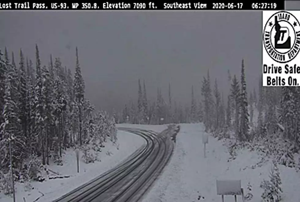
June is just around the corner, but summer in Missoula is going to have to wait at least a few more days. According to National Weather Service Meteorologist Luke Robinson, snow is on the way.
“This large area of low pressure we have been watching the past several days has started to trend wetter and colder during the past 24 hours,” Robinson said. “Now we are expecting not only the mountains to receive some snow, but the valleys across west central and southwest Montana could see some snow overnight tonight.”
Robinson said several valleys in Western Montana could be impacted by this cold front.
“Seeley Swan Valley, the valleys around Anaconda, Deer Lodge, Butte, and the Missoula and Bitterroot valleys will be the hardest hit,” Robinson said. “We are not expecting this to be much of a road impact, but the heavy wet snow will have an impact on area vegetation in all of those valleys that I just mentioned.”
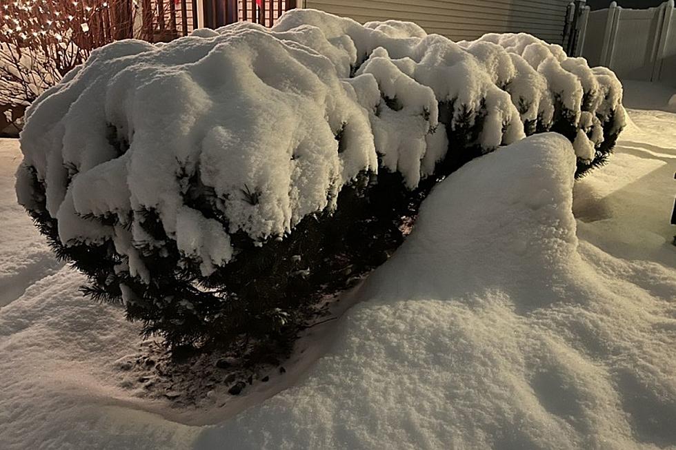
Robinson said the heavy wet snow could weigh trees down quite a bit. He said some tree limbs could snap and smaller trees could fall, which could create some power outages in certain areas.
Robinson said the rain will likely change to snow overnight tonight.
“For the Missoula and Bitterroot Valleys, we will probably start seeing the snow accumulate on area trees and vegetation sometime around midnight,” Robinson said. “That will continue through the early morning hours tomorrow. After the sun rises, we should see the snow diminishing in the valleys, but it will continue the next couple of days in the mountains.”
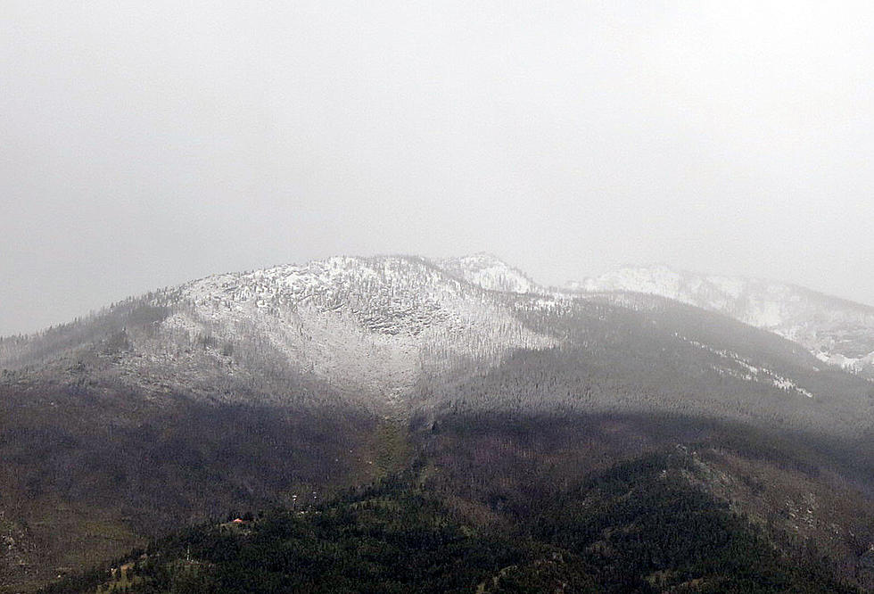
Robinson said we should expect a few inches of snow in Missoula and the Bitterroot Valley, with up to seven inches in the mountains. He also said that temperatures could drop to around 30 degrees.
LOOK: The most expensive weather and climate disasters in recent decades
LOOK: Here are the 50 best beach towns in America
More From Alt 95.7

