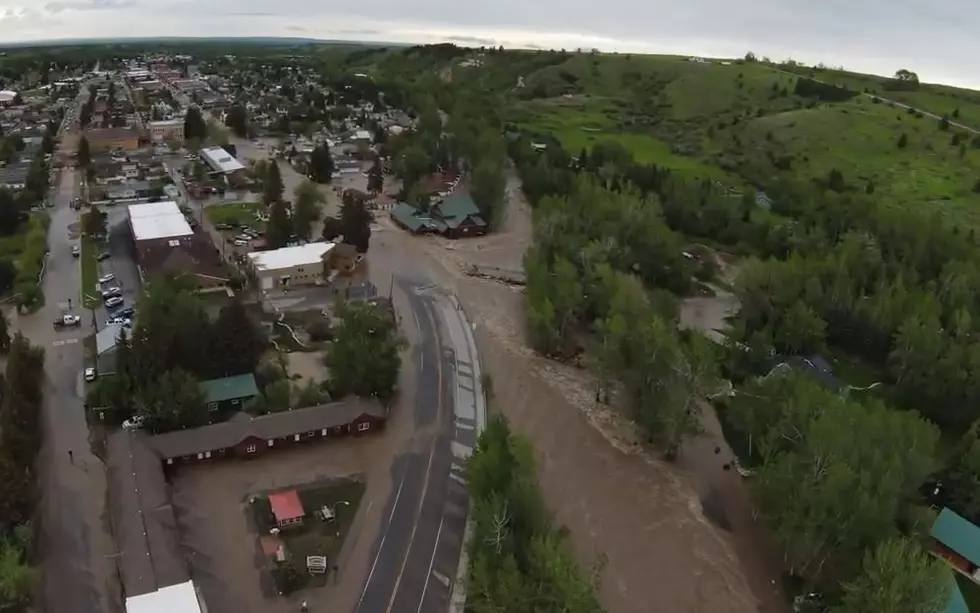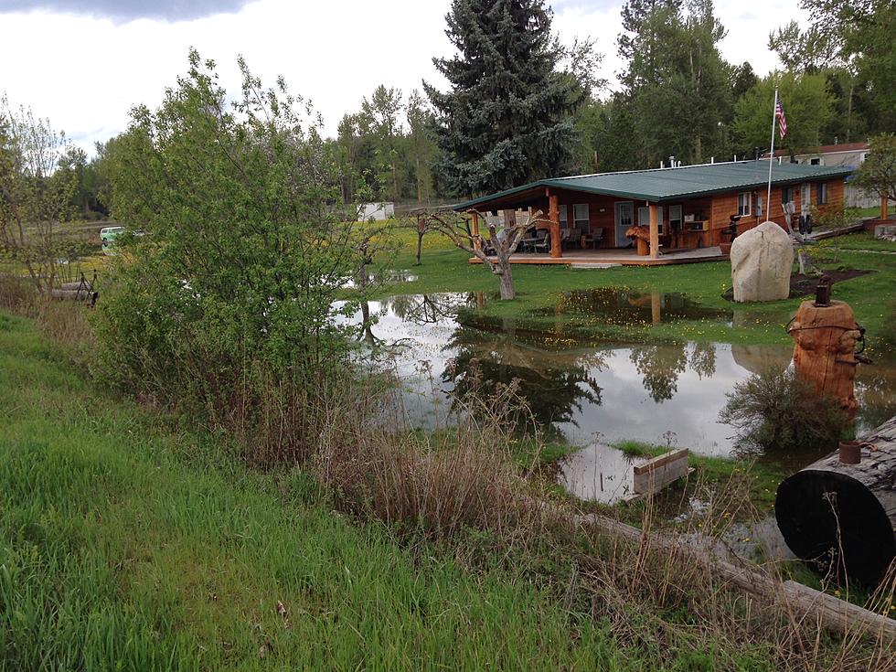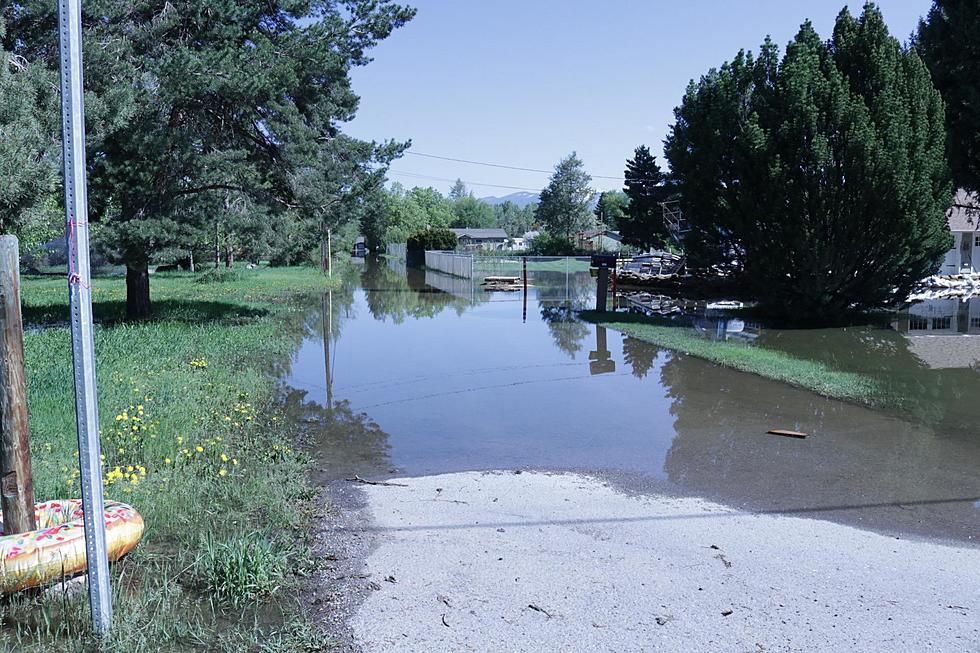
Minor Clark Fork River Flooding Expected this Weekend
The National Weather Service is predicting that the Clark Fork River will experience minor flooding as the warm weather melts the snow pack in western Montana mountains.
Meteorologist Ryan Leach provides details.
“The main driver of what we have going on right now is just snowmelt,” said Leach. “On Friday afternoon we do have the Clark Fork above Missoula going above the flood stage. We’re expecting some pretty minimal impacts from that meaning the areas that were affected last year such as Kehrwald Drive and Tower Street in that part of Missoula, so a relatively narrow impact, but it will be affecting some homes down there.”
Leach said the flooding will be minor and won’t last long.
“The river is supposed to peak at about 7.9 feet and that’s just above the flood stage of 7.5 feet,” he said. “The forecast has the river coming down fairly quick probably by Sunday morning back below flood stage. With some cooler weather on the way we do have some rain coming and cooler weather which should slow things down.”
Leach did however offer some cautionary tips for people that may be recreating near the river in the spring.
It can be misleading when you’re walking on the bank, because this is the time of year when the bank erosion is at its highest so if you’re walking too close you can fall in and that’s happened to people and pets before,” he said. “The other thing is that the water is just so cold that even if you’re a strong swimmer, the river is moving fast and even a strong swimmer can lose control of their muscles in just a minute or two.”
Leach advises anyone who will be near the river to be prepared with proper lifesaving equipment.
More From Alt 95.7