Heavy Rain and Possible Clark Fork River Flooding This Week
The National Weather Service and the Missoula County Office of Emergency Management are teaming up to let residents in western Montana know that a very warm and moist weather system is headed into western Montana with heavy rain and possible flooding.
Senior forecaster Bob Nester with the National Weather Service described the rain event heading into western Montana.
“As this upper low moves over the northern Rockies, starting tomorrow through Thursday morning it’s going to just slowly meander over the area and dump a lot of rain,” said Nester. “There will be a lot of rain especially in the central mountains of Idaho and in northwest Montana. Everyone’s going to get rain through this three day period and it’s very possible that the Missoula area could receive upwards of about an inch. We could receive more rainfall if a band of rain actually forms over us rather than over Idaho.”
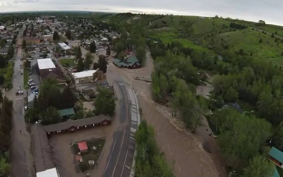
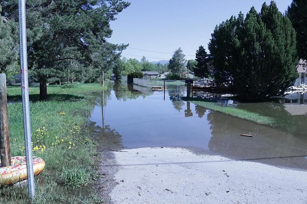
The heavy rain will bring the possibility of flooding to the Clark Fork River near Missoula, according to Missoula County Office of Emergency Management Director Adriane Beck.
“Certainly, we’re obviously remaining in very close contact with the National Weather Service as well as the Army Corps of Engineers as we look to potential flooding along the Clark Fork,” said Beck. “Most people will recall about three weeks ago when we anticipated a minor flooding event. It kind of came up and just touched that flood stage and then it went right back down as we had cooler temperatures and certainly cooler nights that prevailed up to this point.”
Beck said their eyes will be on the sky to see just how much rain falls on the area.
“What is most concerning at this point is the forecast for quite a bit of precipitation over the next 24 hours that will exacerbate flooding,” she said. “Currently we are expected to reach and exceed the flood stage later this week. We’re in close contact with the National Weather Service to get the most update information. It will all depend on how much rain we get and where that rain falls.”
The areas around Kehrwald Drive and Tower Street are usually the first to see flooding from the Clark Fork River.
More From Alt 95.7