Lolo Peak Fire is 90 Percent Contained
Snow, rain and colder temperatures have brought fire behavior throughout western Montana to "minimal" levels. Most of the large fires remain in the "active" category with smoldering areas continuing to burn.
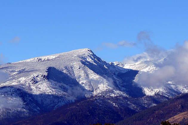
Last week's acreage of the Lolo Peak Fire is still the same this week, with no growth. The estimate put the acres burned at 53,902 acres, according to the Monday morning Lolo Peak status report.
All evacuations and evacuation warnings were lifted by the Ravalli County Sheriff, though there are still some closed roads and trails at the Lolo Peak Fire. Crews were attacking some hot spots north of Larry Creek this weekend.
Stage 2 fire restrictions have been lifted in Ravalli County and Stage 1 and 2 fire restrictions were lifted in Missoula County.
However, Open Burning is still prohibited in both counties.
Work at the Lolo Peak Fire is mainly rehabilitation work - 127 miles of fire line is being "repaired," with over 75 miles completed so far. In some places, snow has prevented work, mainly in the southern end of Elk Meadow Road.
Besides repairing the fire lines, crews are also fixing damaged fences and clogged streams. Large equipment such as excavators and log loaders are being added daily, according to officials.
Information bulletin boards are still in place at the intersection of Highway 12 and US 93, at Traveler's Rest on Highway 12, at IGA in Florence and Super One at Stevensville.
The Meyers Fire, which crept into the upper East Fork of the Bitterroot Valley is listed as 62,034 acres with 64 people still on the 90-percent contained fire. Rehabilitation work is the main duty there. All evacuation warnings on the Bitterroot National Forest and Ravalli County were lifted last week.
Other smoldering fires - still active - include the Rice Ridge Fire at 160,181 acres, the Sapphire Complex at 43,733 acres, the Highway 200 Complex at 47,118 acres.
More From Alt 95.7