Air Quality in Hamilton Reached New Low Wednesday
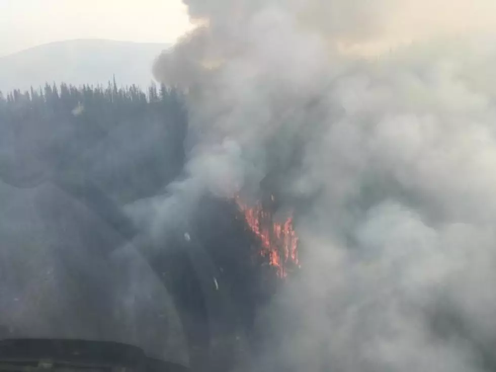
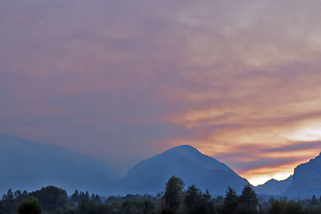
The air in Hamilton worsened considerably Wednesday evening, August 16. The Chute Creek Fire in the Selway-Bitterroot Wilderness sent a plume of smoke and ash over the top of Downing Mountain.
The official air quality monitor at the Ravalli County Courthouse recorded the influx of smoke, moving past the "Unhealthy for Sensitive Groups" into the "Unhealthy" category and stopping just short of the "Very Unhealthy" settings just before midnight.
This morning, August 17, the air quality was back in the "Moderate" range.
By comparison, the Seeley Lake monitor is off the scale again, way beyond "Hazardous" this morning. The Rice Ridge Fire and the Liberty Fire are causing those bad conditions.
The Chute Creek fire is about three miles inside the wilderness boundary west of Hamilton. The acreage estimate from the Nez Perce-Clearwater National Forest yesterday afternoon was over 660 acres. That was before the active burning last evening. An updated acreage is expected later today.
The Nez Perce and the Bitterroot National Forests are working on long-term management and strategy of three wilderness fires - the Chute Creek fire, the 4,627-acre Hidden Fire to the north and in the Frank Church River of No Return Wilderness to the south, the 4,394-acre Rattlesnake Point fire.
The Lolo Peak Fire was very active Wednesday. The fire has spread into the Bitterroot Valley. New mandatory evacuations are in effect west of US 93 from Sun Valley Road to north of Maclay Ranch Road, with evacuation warnings south to the county line. Those warning areas continue into Ravalli County, with Sheriff Steve Holton issuing evacuation warnings to residents north of Florence, from the north side of Tie Chute Lane north to the Missoula County line. Officers are notifying residents in the area door-to-door.
The Ravalli County Emergency Operations line has updated information at 375-6650.
More From Alt 95.7