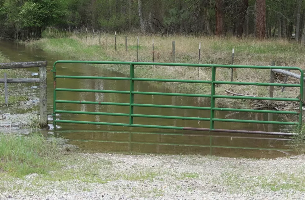
Rivers and Streams Rising Again
The increasingly warmer temperatures are increasing the melting of snow in the mountains of Montana and, as a result, a rise in the water levels of local streams and the Bitterroot River. Weather forecasters are expecting the daytime temperatures in the Bitterroot Valley to reach into the 90s by Saturday, May 30. With a system moving through the area starting Sunday, the highs will be returning to the 70s next week, but not before the Bitterroot River will tease the flood level again this year. As of Wednesday at 10:45 a.m. the US Geological Survey gauge at Bell Crossing near Victor was 9.27 feet with flood stage at 11 feet. Meanwhile, upstream at the USGS gauge between Darby and Conner the level was 5.76 at about 11:15 a.m., with flood stage at 7.5 feet. Both levels were expected to peak just below flood stage Sunday evening or Monday morning, June 1.
Again, the weather will determine the outcome. But, our usual high water warning is the same every year in Western Montana. Be careful on the eroding riverbanks and stay off the river for a couple of weeks, until the swift, very cold water slows down and clears up. The muddy currents can hide lots of dangerous debris like tree branches and logs. Wear your life preservers, too.
Check out these 50 fascinating facts about dogs:
More From Alt 95.7


