NWS – Missoula the ‘Battleground’ between Two Weather Systems
Winter so far in Missoula has been a bit confusing.
We’ve had predictions of heavy snow and cold temperatures, especially in the last week, but as Missoula heads into a weekend with highs near 40 degrees, KGVO contacted the National Weather Service to find out what’s happening with our winter weather.
Meteorologist Dan Zumpf referred to the situation in almost military terms.
“Basically, western Montana has become a battleground between the warmer Pacific air and the arctic cold air that we get every winter with the east winds coming through the Hellgate Canyon, for example. With our last storm last week, we were expecting a lot of the cold air to come over the Continental Divide from the east and much of it stayed east of the Divide. For example, the temperatures east of the Divide this morning were up to 20 below zero near the Canadian border, but when you come west of the Divide we’re seeing temperatures in the 20’s. Basically what happened was the warmer air won, in this case, and last night (Wednesday) was particularly warm because the winds stayed up all night. You really need to get the winds to slow down for us to get cold temperatures here in western Montana, and we haven’t seen a lot of that here in western Montana thus far.”
Zumpf said the temperatures will become even warmer this week.
“In the immediate future, it’s actually going to get warmer looking at temperatures coming up over the next several days,” he said. “It will be particularly warmer on the terrain, however the valleys will actually cool off. There will be some light snow showers tonight, which will warm up the terrain, but Missoula proper will be a little colder and that will last through the weekend and into early next week. We’re expecting cooler air to move in by then. It’s not looking like subzero air, but certainly below normal temperatures by the middle of next week.”
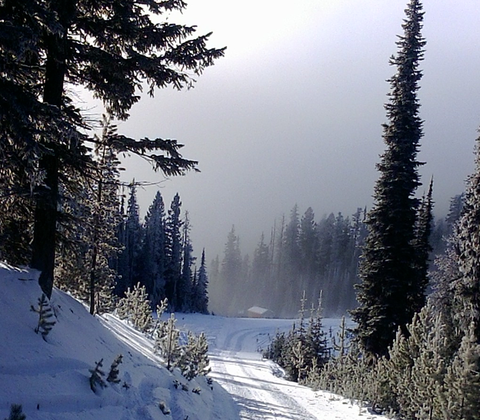
Zumpf said there has been some concern about the condition of mountain snow pack in western Montana, but those fears are unfounded.
“Over northwest Montana and Glacier Park and the Bob Marshall Wilderness area we’re seeing from 110 percent to 120 percent of normal, “ he said. “Closer to Missoula at Snowbowl for example, we’ve been averaging close to 90 to 100 percent around here after this latest storm. There were some places just over the border in Idaho that were suffering with 60 to 70 percent of normal, but now they’re pushing from 90 to 100 percent of normal. The mountains are getting lots of snow, and our water supply is on track, so it’s a real mixed bag so far for our winter.”
More From Alt 95.7