National Weather Service Issues Winter Storm Watch for Weekend
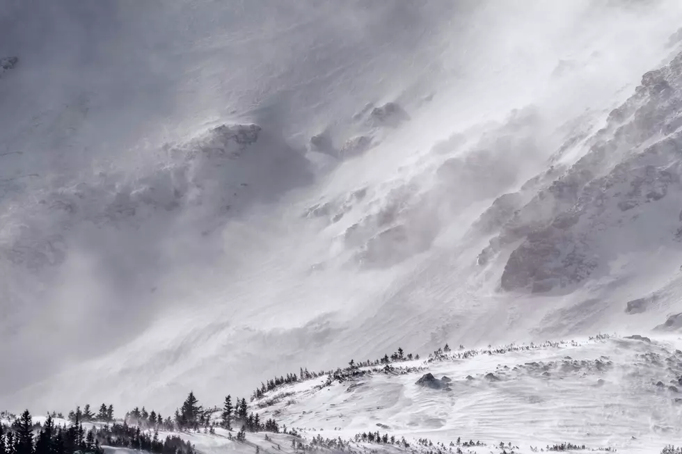
Western Montana has for the most part escaped any severe winter weather recently, but that will change this weekend as a very cold and wet arctic front is headed this way and is expected to set up shop in Missoula and western Montana.
Meteorologist Jeff Kitzmiller provided details to KGVO News.
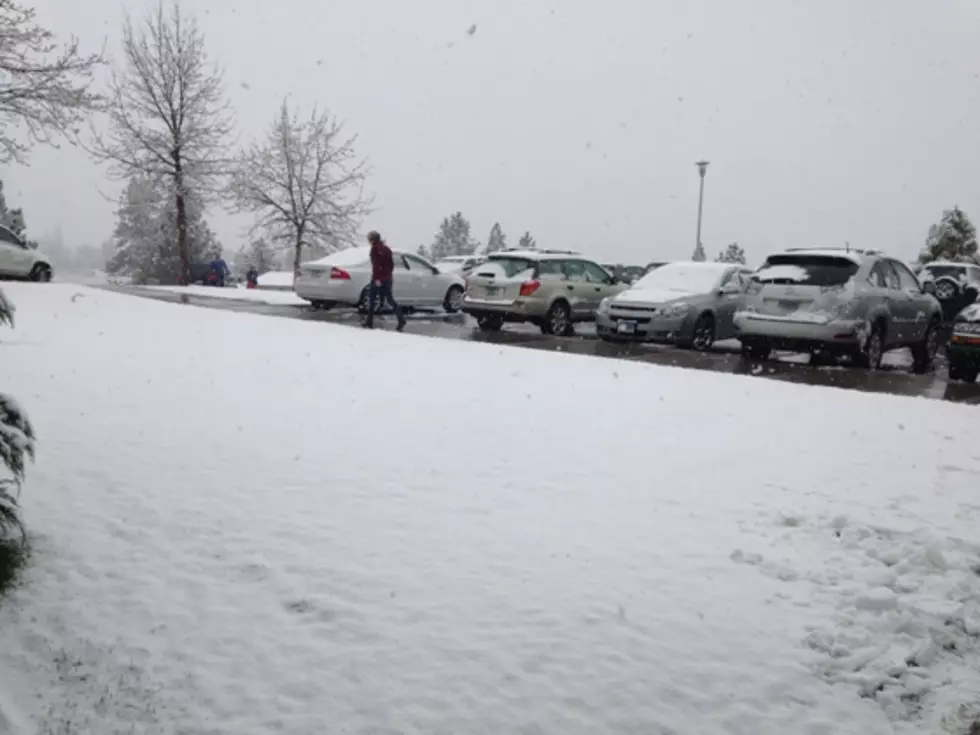
“We start off really with a more snowy pattern which kind of got kicked off this morning and last night’s snow, but our trends have been for a lot more snow to happen especially on like Saturday night into Sunday,” said Kitzmiller. “We’ve had to increase our snow amounts up to somewhere in the six to nine inch range around the Missoula Valley.”
In addition to the heavy snow, Kitzmiller said the temperatures in western Montana will plummet this weekend into next week.
“Initially, it’s colder this weekend where we're looking at highs more like in the low 20s,” he said. “But then once we get into Monday and Tuesday, that's when we start seeing some of those really more much more cold temperatures. Lows will get down into the single digits or below zero. “Wednesday is the day that we're really keying in on where we're seeing a lot of below zero temperatures showing up. So, right now we have negative seven and for Missoula that could be conservative.”
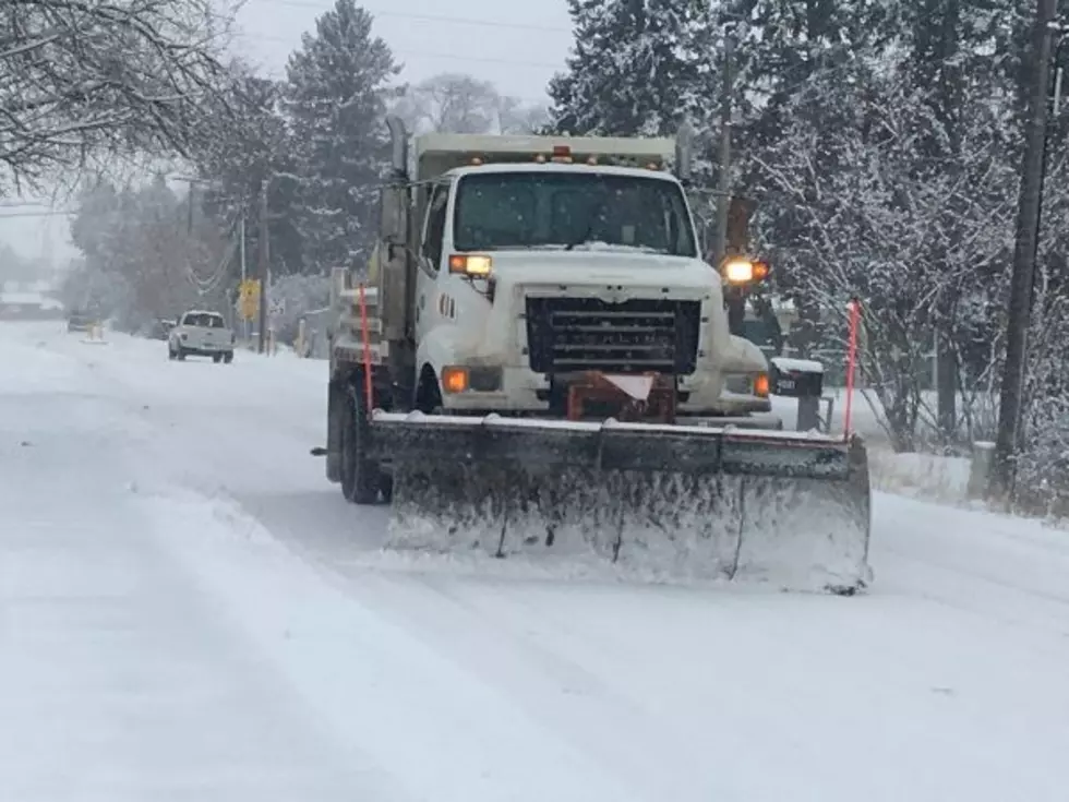
Kitzmiller said Missoula and western Montana residents should consider curtailing their travel plans over the weekend into early next week.
“If you're talking about actual winter storm watches, we literally just issued one for around here,” he said. “So you'll see those go out. And really, these are the times that it doesn't really look that great to drive. We're talking about low visibility and the potential for freeze up on roadways, and there's definitely a high amount of snow. Sunday will just really not be a great day to travel, and if people have to they need to be prepared with good snow tires, emergency kits in their vehicles, things like that.”
TIPS: Here's how you can prepare for power outages
More From Alt 95.7