Hot, Dry Winds Increase Montana and Idaho Forest Fire Growth
The Lolo Peak Fire southwest of Missoula has grown to 249 acres, according to Lolo National Forest authorities. A Type 1 Incident Team, under director of Greg Poncin, will take over management of the fire Friday evening.
The wilderness fire is a mile west of Lolo Peak and was buffeted by 25-35 mph winds Thursday. Most of the growth was to the south, farther into the Selway-Bitterroot Wilderness.
UPDATE - Bitterroot National Forest has closed a number of trails because of the fire:
Lolo National Forest has closed the Mormon Peak Road and the South Fork Lolo Creek Road.
(Correction) The Mill Creek Trail in the Lolo National Forest is also closed, not Mill Creek in the Bitterroot.
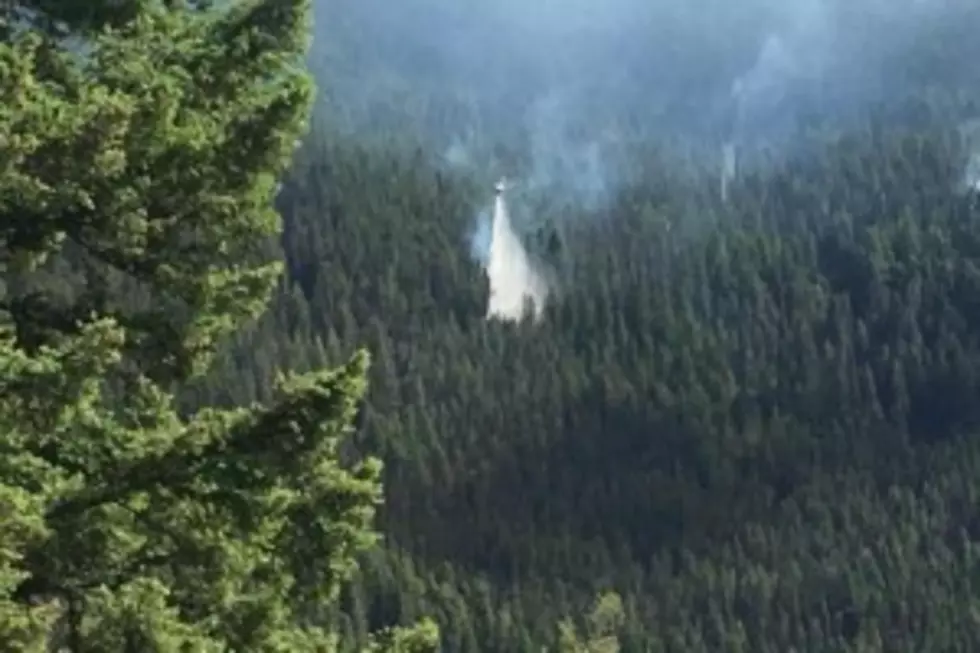
The 800-acre Goat Creek Fire near I-90 in Granite County has caused evacuations in the Rock Creek area. the Granite County Sheriff's Office has ordered evacuations for residents in the Brewster Creek area. Residents between mile markers 5 and 13 are in pre-evacuation status and Rock Creek Road is closed to local traffic only.
The Goat Creek Fire is a lightning-caused fire that was spotted early Thursday morning, July 20.
Clinton and Missoula rural fire departments, State/DNRC and Forest Service crews are fighting this fire. Southwest winds caused fire growth Thursday.
Bitterroot Fires
The 25-acre Dominic Butte Fire is east of Corvallis near Willow Mountain. The lightning-caused fire started Wednesday and was slowed down by retardant drops and helicopter water drops. Tod McKay of the Bitterroot National Forest said 65 people are on that fire, along with five engines and two helicopters. No structures are threatened, but part of the Willow Creek Road and Burnt Fork Lake are closed.
McKay said the Sleeping Child Fire near Sawdust Gulch Trail is out and the Brandy Peak fire up Lost Horse is controlled with four firefighters and a helicopter working on that blaze. The Tin Cup fire was five acres in size as of Thursday. It's at the head of Tin Cup drainage. A helicopter has been dropping water and a ground crew has been sent to the fire. The 5-acre White Cap and the 15-acre Vance Mountain fires are in the Selway-Bitterroot Wilderness, three miles west of Tin Cup Lake. They are being monitored.
McKay said there have been 25 lightning fires and 8 human caused fires so far on the Bitterroot National Forest.
Other Fires - UPDATE 11 a.m. 7/21
The Beaverhead-Deerlodge National Forest continues to fight the Whetstone Ridge and Meyes Fires. UPDATE - Whetstone Fire is now 1,166 acres and Meyers Fire is 1,244 after active burning Thursday 7/20.
The two fires, 25 miles southwest of Philipsburg, have crews from Lewis & Clark, Bitterroot, and Beaverhead-Deerlodge National Forests on the firelines. Helicopters are also dropping water on the wind-driven fires.
In Idaho, the Craig Mountain Complex 30 miles south of Lewiston is now estimated at 28,000 acres, burning in grass and brush. It consists of the Corral fire and the Powerline Fire and continues to burn in the area of the Snake River, southwest of Winchester, Idaho.
In the Selway-Bitterroot Wilderness, the Moose Creek Fire has grown to 700 acres and the historic Moose Creek Ranger Station has been wrapped with sprinklers installed. The wilderness fire is southeast of the buildings.There are seven fires in the Moose Creek Ranger District of the wilderness.
There are also fires in the Red River Ranger District near the Magruder Road.
Again, a warning to drone owners. Please, no flights of drones near the forest fires! It stops the air attacks.
More From Alt 95.7