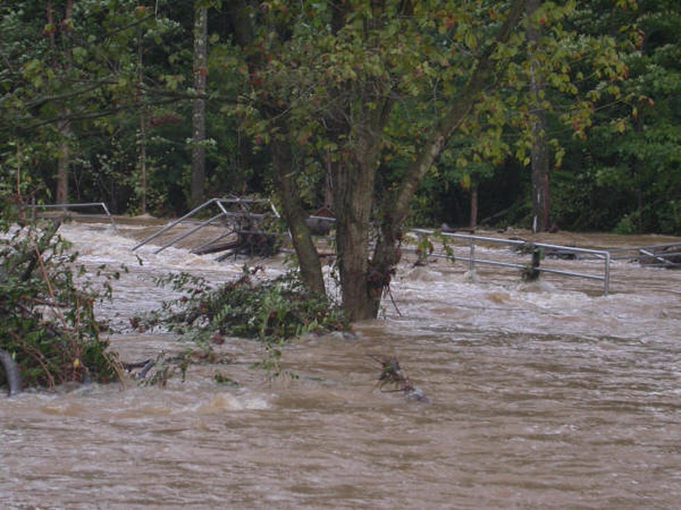
Flood Warning for Clark Fork River above Missoula
The National Weather Service is reporting that snow melt from the Clark Fork Basin has caused minor flooding in parts of the Missoula area.
Meteorologist Stefanie Henry said on Monday morning that the Clark Fork has seen rapid rises in the river level over the past week due to warm temperatures and the weekend rains.
“The river has flattened out at about 10.3 feet as of last night,” said Henry. “We are expecting the river to crest above Missoula at about 10.5 feet early this morning before it starts to decline later this afternoon or evening. We have been seeing impacts including waters rising above the Orchard Homes area, and we’re seeing some lowland flooding in the Upper Clark Fork area, as well for both east and west Missoula.
Henry said the cooler temperatures will help improve the flooding situation.
“We are expecting to see improvement now that the colder air has moved into the area, so we’re not getting as much snow melt,” she said. “We are going to see some continued rain off and on today and tomorrow, but it does look like it’s going to taper off within the next several hours. Luckily, the colder air aloft will keep the snow from melting any faster for now.”
A flood warning for rain and snow melt remains in effect until 8:45 a.m. on Tuesday for south central Missoula County.
More From Alt 95.7


