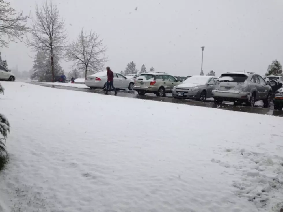
First September Snow for Missoula in Over 30 Years Possible
The National Weather Service has updated their forecast for the weekend and into the following week with more detailed information about the impacts it may bring to the area.
Meteorologist Jen Kitzmiller conducted a You Tube webinar on the approaching system.
“We have a very early season winter storm moving into the area,” said Kitzmiller. “This is something that we don’t normally see this time of year. We’re expecting heavy mountain snow and some snow even down into the valley locations Saturday night into Sunday with strong gusty winds up to 50 miles per hour through the Missoula valley.”
Kitzmiller said the early snow could cause damage.
“The combination of some heavy wet snow with strong winds that could result in damage to trees and power lines,” she said. “As we go into early next week, we’re going to be seeing low temperatures into the low to mid 20’s, so there will be a hard freeze and the potential for issues to irrigation. In the Missoula valley we haven’t seen snow in September for over 30 years, so this is quite unprecedented.”
Kitzmiller said valley snow will be light, but could cause travel difficulties over the mountains.
“We could potentially see an inch or two of snow in Missoula, but it may have a hard time sticking due to how warm the ground is, but we could see some accumulation to the trees and the grassy areas, and if we get enough snow there could be damage to tree branches,” she said. “The snow will last through Sunday but the cold temperatures will persist into the following week. Daytime highs will be in the 40’s, with nighttime lows in the low to mid 20’s.”
There could be blizzard conditions on Marias Pass Friday night through Saturday.
In September of 1926, one to six inches of snow fell in Missoula, and the cold spell damaged the apple crop in the Bitterroot Valley.


