A Missoulian Made a Handy Map Showing the Best Places to Go River Swimming
All hail Reddit user knobye36! They have made a Google Map of all of the best swimming holes around the Missoula area. I've lived here my entire life and still haven't been to many of the best spots because I either forget they exist or don't know how to access them. Love 'em or not, out-of-state tourists will also find this map to be quite handy. This user was kind enough to share the map, so please be respectful and clean up after yourself at each swimming hole.
Places on the map include: Maclay's Bridge, Maclay Flat, Kelly Island, Council Way, "Brooks", and East Missoula.
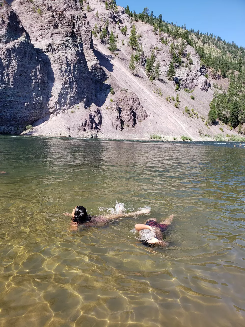
No one wants to share their favorite spot because they think it's secret. But a couple of other places include "Sandy Vag," which is accessed through Silver Park, there's a little sandy spot directly across from Taco John's on the Clark Fork. Maybe it's just called the Silver Park access, I'm just telling you what we call it. My very favorite summer swimming hole is Fish Creek, which is about 35 minutes west of town, in the Alberton area. It's absolutely gorgeous out there if you can find it, there's a great little beach, and the view is exactly what people think swimming in a Montana river is like.
If you have smaller kids and you're looking to keep it safe, there are indoor pools at the YMCA, Currents, Grizzly Pool on campus, various hotels that host birthday pool parties, and the ultimate summer family fun spot, Splash Montana.
LOOK: 50 images of winning moments from sports history
More From Alt 95.7


