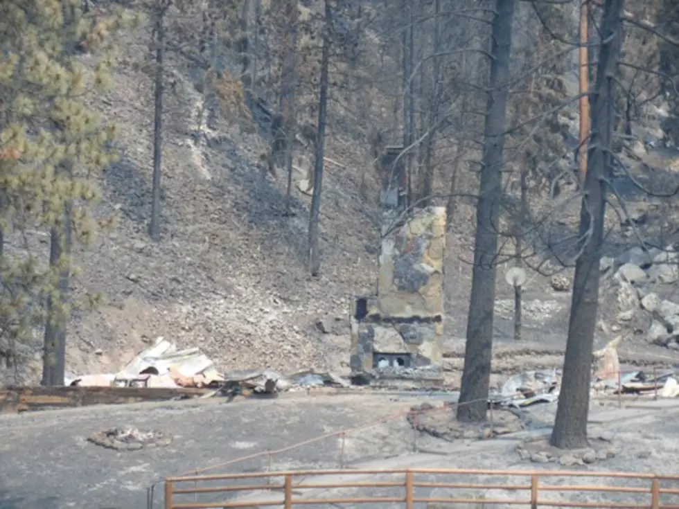
Another Wilderness Fire Adds Smoke to the Bitterroot Valley
After a couple of days where Bitterroot Valley residents could see the blue sky above the smoke, no one is ready to return to what has been a very smoky August.
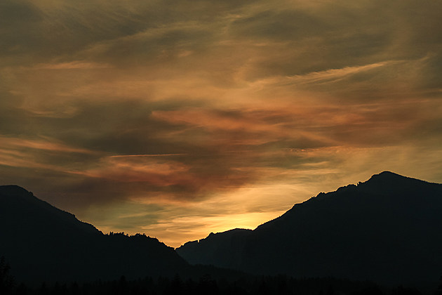
Unfortunately, the weather forecasts indicate an increasing smoke level. Adding to that is a new lightning-caused fire in the Selway-Bitterroot Wilderness.
Tuesday, August 15, the Nez Perce-Clearwater National Forest didn't give a size estimate of the Chute Fire, but the blaze in the wilderness has been sending smoke down Blodgett Canyon west of Hamilton. The fire, south of the Hidden Fire, is eight miles southeast of Elk Summit Guard Station in the Chute Creek drainage. Like the Hidden Fire, it is about 3 miles west of the wilderness boundary, though the smoke made people think it was closer than that Tuesday afternoon.
The other Selway-Bitterroot Wilderness fires KLYQ Radio has been watching include The Hidden Fire - now over 4,600 acres, the Moose 1 fire - over 7,758 acres, the Lone Pine Fire - over 5,650 acres and, in the Frank Church River of No Return Wilderness, the Rattlesnake Point fire is over 4,069 and moving toward the east.
Elsewhere, in the Inciweb reports, the Lolo Peak Fire is over 10,363 acres with Highway 12 closed and evacuations on both sides of the highway between Fort Fizzle and Mile Marker 20 at Bear Creek. Evacuation warnings have been extended from Fort Fizzle east to Balsam Root Road and on Morman Creek Road past Vann Drive, including Vann Drive. Burnout fires have been started Monday and Tuesday to rob fuel ahead of the fire in the Highway 12 corridor.
The Sunrise Fire south of Superior has burned over 21,000 acres, the Sapphire Complex has burned over 30,000 acres, the Meyers fire south of Philipsburg has burned over 13,711 acres and the Gibralter Fire near Eureka is over 1,938 acres.
In the Seeley Lake area, the Rice Ridge fire is at 11,754 acres, spreading the worst air quality in western Montana into that narrow valley. At the Liberty Fire, evacuation warnings have been lifted north of Placid Lake.
A new lightning-caused fire is being fought in the hills east of Flathead Lake. The Blue Bay Fire is now 55 acres, as of Tuesday morning, burning in Teepee Creek east of Highway 35 and Blue Bay. Flathead Agency firefighters are doing burnouts on the lower third of the fire.
Fire danger in most areas is at the "Extreme" level.
More From Alt 95.7